
Trace a Fresno Street Directory Address
A useful Fresno address search begins with the physical address and ends with several kinds of evidence. The Fresno Assessor can point to a taxable parcel and an owner or assessee. The Fresno Recorder can show a transfer between named parties. A Fresno voter-file product may show a permitted street list, while a criss-cross volume can show a listed occupant for an older year. None of those sources alone proves that every person at a Fresno house lives there today. Keep ownership, mailing, occupancy, and historical listing as separate labels.
The order below keeps the address as the handoff key. It also prevents a common error in Fresno, where a postal city label can cross an incorporated-city line or an unincorporated pocket.
- Normalize the address. Enter the street number and name in the City of Fresno address and parcel map. Preserve the directional, suffix, apartment field, ZIP, and the returned APN for Fresno records.
- Move from address to APN. Use the APN in the Fresno Assessed Value Lookup and retain the situs, tax-rate area, value fields, and any map book or page reference.
- Identify the current owner record. The free value screen is address or APN led. The paid secured roll or current ownership and mailing file is the documented route when a name is needed, subject to public-record limits.
- Open the deed trail. Search the Fresno Recorder's 1981-present index for the owner as grantee, read the instrument, then search the seller as the prior grantee. Use the legal description and APN to test a same-name match.
- Use the lawful voter channel. California My Voter Status is for a person's own verification. A street or walking list requires an approved purpose, application, identification, and Fresno County's process.
- Check older household evidence. The Fresno County Public Library Heritage Center holds Polk-Husted and Haines material, including address-to-occupant criss-cross volumes. Record the edition's geography and abbreviations before treating a listing as evidence.
Note: An address-to-APN match is the bridge; a name without the parcel, date, or document role is only a lead.
Fresno Street Records by Address
Fresno's address-keyed record sets are spread across Fresno County, Fresno city, Fresno Elections, and Fresno library custodians. The address chain is strongest when each source is used for the fact it actually keeps. Fresno City GIS supplies geometry and planning context. The Fresno Assessor supplies parcel and value data. The Fresno Recorder supplies recorded instruments. Fresno Elections supplies a restricted street-list route. Fresno planning, code, and library records add project or historical context.
| Record set | Keeper | Address or street signal | Access channel |
|---|---|---|---|
| Address and parcel layer | City of Fresno GIS | APN, ZIP, districts, annexation, tract, block, lot, land use, zoning | Free map browse and query |
| Value and parcel lookup | Fresno County Assessor | Current-year assessed value by address or APN | Online lookup, counter, or data product |
| Situs and ownership files | Fresno County Assessor | Street-to-APN index, assessee, tax-mailing address | Full Fresno County files; annual or monthly products |
| Deeds, liens, and maps | Fresno County Recorder | Named parties, transfer dates, legal description | 1981-present index, older scanned books, counter, mail |
| Street or walking list | Fresno County Elections | Authorized voter presence by precinct or district | Signed application, permitted purpose, ID, fee |
| Permits and code cases | Fresno City Planning and Code Enforcement | Project address, APN, applicant, status, work dates | Online modules, department request, or CPRA request |
| Reverse directories | Fresno County Public Library Heritage Center | Older address-to-occupant and subscriber entries | Microfilm, hard copy, in-library help |
The APN joins the Fresno County systems, but the join is not a claim about residency. A tax mailing address can be outside the parcel. A deed can name a trust. A permit can name a contractor. A directory can omit an unlisted household. A Fresno address record that states the source and date for each line is more useful than one that turns all of these roles into “resident.”
Fresno Assessor Search Fields
The Fresno County Assessor describes its public Assessed Value Lookup as a current-year search by address or parcel number. The Fresno County assessment-roll product page explains the owner, mailing, situs, and bulk-file routes, while the Fresno Assessor contact page gives the current inquiry channel. It is a parcel and value entry point, not an advertised name-only directory. The map lookup adds a roll-year selector and book/page route. These are the field choices that matter when a Fresno address search starts at a Fresno address.
| Field or control | Type | Use in an address search |
|---|---|---|
| Address | Text, one search mode | Use the current situs or physical address for the value record. |
| Parcel Number | Text, one search mode | Use the APN returned by GIS or copied from a tax record. |
| Owner or Assessee Name | Roll field | May appear in a paid or counter roll product; the free value screen is not advertised as a name search. |
| Book and Page | Text pair | Retrieves an assessor map page when the parcel map reference is known. |
| Roll Year | Dropdown | The displayed map-roll run is 1998 to current. |
| Index Page for selected roll type | Radio choice | Select No or Yes, then choose the index type and page when needed. |
| Index Type | Radio choice | Map Pages, map book to subdivisions, tax-rate area, or agriculture preserve. |
| Index Page Number | Text | Use only when the index-page route is selected. |
| Search and Reset | Buttons | Submit the chosen address, APN, or map criteria, or clear it. |
The annual Situs Index is alphabetized by street name and pairs a physical address with an APN. The current ownership and mailing file is updated monthly, while the secured assessment roll identifies the January 1 owner or controller. Fresno County's free downloadable roll products omit assessee names, so a street-wide owner list may require the full paid product or a counter or written inquiry. Fresno County also does not sell a chosen street, Fresno city, APN range, or school-district slice.
The Fresno secured property search shows the tax-parcel route used to move from a street address to a current or historical roll.
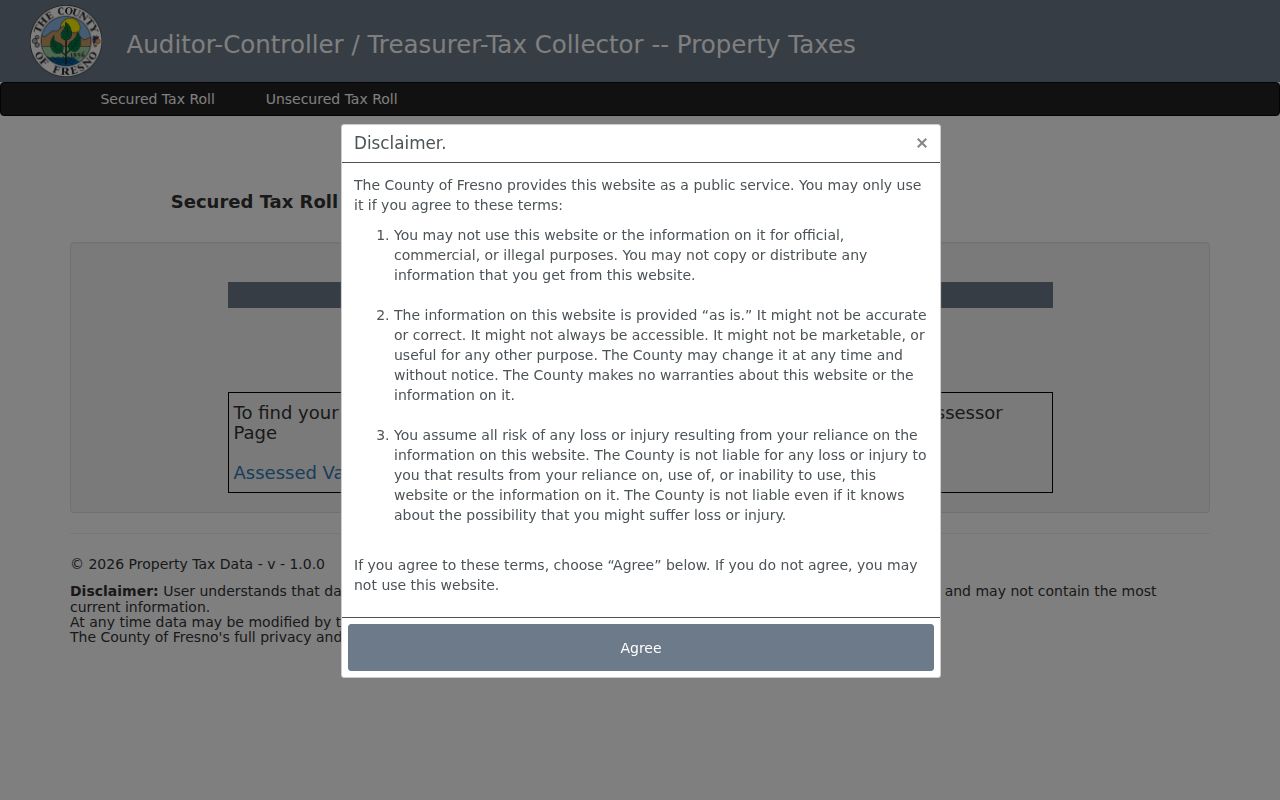
This parcel search is useful for the APN handoff and historical-year selector, but owner visibility and occupancy still depend on the proper Fresno County record product.
Fresno Parcel Scale Along a Street
The Assessor's property-characteristics notes reported 308,505 parcels in the file counted as of January 1, 2025. That number is a useful sense of scale, not a street count and not a count of households. The annual roll omits parcels without assigned addresses and nontaxable government parcels. The Situs Index therefore cannot be read as a complete list of every structure, person, or address along a Fresno road.
For a narrow Fresno street question, collect only the APNs that the map and situs records return, then join selected parcels to the current ownership file. This keeps a broad Fresno County file from being mistaken for a finished street-by-street list and makes later deed or permit checks more precise.
Walk Fresno GIS Street Parcels
Fresno County GIS and City GIS turn a Fresno street search into a map walk. Search or pan to the address, zoom until the parcel geometry draws, select the target polygon, and click adjacent polygons one at a time. The City of Fresno address and parcel service supports query and attachments, but it does not advertise a public radius or buffer search. A visible parcel boundary is the safe basis for deciding which Fresno lot is next, especially at corners, alleys, cul-de-sacs, and subdivisions.
The address layer can return ADDRESS, APN, ADRNUM, ADRDIR, ADRNAME, ADRSUFF, ADRAPT, and ZIP. It also carries ANNEX_DATE, COUNCIL_DISTRICT, SCHOOL_DISTRICT, PD_DISTRICT, COMMUNITY_PLAN_AREA, SPECIFIC_PLAN, INSIDE_CITY, and SWEEP_DAY. Census and code context comes from CENSUS_TRACT, CENSUS_BLOCK, and CODE_ENFORCEMENT_AREA. Tract geometry can be retained through TRACT_PARCEL_MAP_ID, BLOCK, and LOT, with flood-map, land-use, and ZONING_STRING fields where supplied.
Those fields are Fresno geography, not owner data. The layer does not expose assessor owner or tax-mailing fields. Carry the APN into the Fresno County Assessor, then use the Fresno Recorder only after the party or legal description is known. Fresno City maps also include zoning, city limits, annexation history, community and specific plans, council districts, historic resources, subdivision activity, and tract maps.
The City of Fresno Planning and GIS resources show the planning side of an address search, including maps that help explain a parcel's civic setting.
Planning layers help place an APN in a Fresno district or plan area. Fresno city disclaims map accuracy and timeliness, so a recorded deed, subdivision map, or legal description controls when a boundary matters.
Note: The APN is a deliberate handoff from Fresno GIS to Fresno County records; GIS alone does not reveal an assessed owner.
Turn a Fresno APN into Deeds
A Fresno address trail becomes an ownership history only after the APN is connected to recorded instruments. The Fresno Recorder Self-Service index covers documents recorded on or after January 1, 1981. Search by last name and first name, grantor or grantee role, recording date, document number, document type, or book and page. Fresno County warns that the index is a catalog of records, not the instrument itself, and that an official property record cannot be searched directly by address.
For a current Fresno parcel, find the owner through the proper Fresno Assessor file, search that name as grantee around the acquisition period, and inspect the purchase deed. The image supplies the vesting language, full legal description, return or mailing address, signatures, and notary acknowledgment. A deed of trust or reconveyance helps explain financing, but is not automatically a title transfer. Search trusts, entities, spelling variants, and spouse names where the instrument suggests them.
At the 1981 cutoff, use the scanned grantor and grantee books. The 1972-1980 combined index, 1914-1971 grantor or grantee books, and 1856-1913 deed indexes are page images rather than modern full-text searches. A Fresno pre-1981 copy request works best with the party name, document type, book, page, and year. The Fresno Recorder offers online, mail, counter, and public-kiosk channels. Web copies cost $1.50 for the first page, $0.50 for each additional page, and $1.00 for certification according to the cited instructions; verify the current fee schedule before ordering.
Fresno Street Permits and Code Clues
Planning and code records add a project timeline to the Fresno address trail. The City of Fresno's permit route is address and project oriented. A search can use record number, record type, date range, street number, street name, parcel number, or a name field when the module exposes it. Results may show a record number, type, address or parcel, work description, status, milestone dates, applicant, owner, or contractor. A permit name proves involvement in a project, not residence at the address.
Use the exact Fresno address first. If a street number changed or one lot has several situs addresses, the APN is stronger. When the online module does not return an older or closed file, request permit history from the Fresno department or make a focused California Public Records Act request for an existing log or file. Name the address, APN, permit or case type, and date range. Code complaints and inspection records may be released with complainant and investigative material withheld.
The Fresno 311 address-services page shows the City of Fresno's public route for reporting and routing location-based issues.
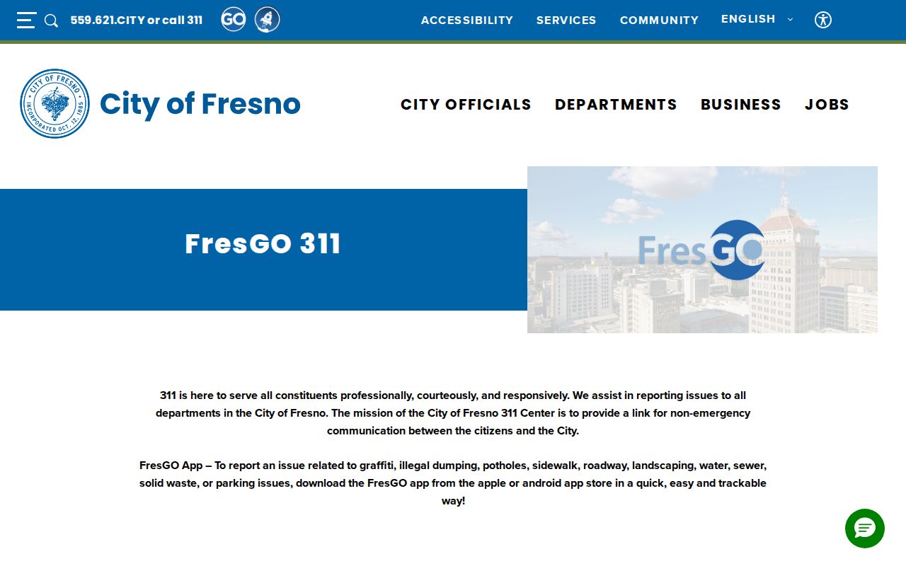
311 and code channels can help locate a case or department, but a complaint record is not a household list. Read the released record for its date, case status, address, and named role before drawing a conclusion.
The Fresno Code Enforcement record route connects address-keyed cases with the City of Fresno office that handles release questions.
This address-keyed view belongs beside parcel and permit evidence. It should not be used to identify a complainant or infer who occupies a property.
Fresno Historical Street Listings
Older Fresno directory work shifts from current parcels to library-held publications. Polk-Husted, later R.L. Polk, began its familiar Fresno directory in 1907. Fresno Countywide coverage appears for most years, with documented gaps in 1874-1880, 1885-1888, 1897, 1899, 1930, 1943, 1945-1946, and 1948. The scope changed to Fresno City only after 1957, and Clovis returned in 1973. A missing person may reflect a gap, a changed geography, an unlisted telephone, or a move outside that Fresno volume's coverage.
Haines criss-cross publication began or resumed Fresno Countywide coverage in 1973 and also covered Madera, Kings, and Tulare counties. Reverse entries begin with street and number, then give a listed occupant or telephone subscriber. Fresno telephone books add another layer: the first Fresno County telephone directory was in 1909, Fresno City received its own book in 1946, and regional coverage changed over time. The Fresno Heritage Center's holdings list is the authority for the volume actually available.
Use the Fresno city directory collections for the historical shelf and entry-reading method when a street question turns into a longer household trail. The address angle still belongs to the parcel: note the exact edition, geographic scope, printed address, occupation, spouse notation, and abbreviation key.
Fresno Streets, Annexations, and Address Gaps
Fresno research has a documented gap around historical street numbering and renaming. The inspected Fresno city sources do not publish a dated Fresno citywide renumbering baseline or definitive street-renaming table. Do not invent a year or assume a vanished number was renumbered. Instead, compare contemporary address fields with Sanborn sheets, subdivision or tract maps, legal descriptions, neighboring directory entries, and annexation history.
The address layer's ANNEX_DATE and INSIDE_CITY fields are the best official bridge for current Fresno city geography. Fresno incorporated in 1885, while the Fresno County seat moved from Millerton to Fresno in 1874. An older record can use a Fresno County description, rural route, or town label that later became a Fresno city street address. A postal “Fresno” line does not settle the jurisdiction for a permit, code, or planning request.
When an old number fails, carry the APN or lot, block, subdivision, and legal description forward. If the parcel was removed by redevelopment or a freeway, search adjacent owners and the block map rather than forcing an old address into a current locator. A stable land description is usually a better continuity key than a modern ZIP.
Fresno Voter Records by Street
California My Voter Status is a self-verification service. It asks the voter for first name, last name, date of birth, and, when required by the live system, an identifying number. It returns the requester's registration or polling information. It is not a public name-only Fresno voter file and cannot be used to type in a neighbor's name and enumerate a block.
Fresno County Elections offers a separate voter-file and Street Index or Walking List process. The application can request voter file, participation history, precinct or district walking lists, maps, and other defined products. It asks for applicant identity and address, product, status filters such as Active, Inactive, Cancelled, Pending, or All, and delivery choices. A clear current photo ID and wet signature are required for voter data applications. Email and fax are not accepted for those applications.
Access is purpose limited under California Elections Code sections 2188-2194 and the Fresno County use agreement. The state registration-status guidance is separate from the Fresno County file process. The documented route covers election, scholarly, journalistic, political, or governmental purposes. The county's voter-data application and use agreement lists a $0.50 per 1,000 voters charge for voter file or history and walking-list products, with other products priced separately. A Fresno street record guide should say “authorized voter file route,” not “public list of every Fresno resident.” Confidential voters and Safe at Home participants require special protection.
Fresno Street Terms by Record Type
Four terms keep a Fresno address search from mixing land, mail, and household evidence. Read them before comparing an assessor result with a deed or reverse directory.
- Parcel
- A mapped piece of land identified in Fresno County systems by an Assessor Parcel Number. A parcel can have more than one address or improvement.
- Situs address
- The physical address used to locate the taxable parcel. It can differ from the tax-mailing address and from a postal last line.
- Plat or legal description
- The recorded map or written land description that identifies lot, block, subdivision, or another boundary more precisely than a street number.
- Criss-cross directory
- An address-first publication. A street and number lead to a listed occupant or subscriber, rather than a person's name leading to an address.
- Index versus image
- An index points to a recorded item. The deed or other instrument image contains the legal description, vesting terms, signatures, and related details.
Note: A mailing address locates the tax bill, while a situs address locates the parcel; neither one by itself proves who lives there.
What a Fresno Street Directory Cannot Show
Public street records do not form a complete household roll. Renters, children, partners, recent movers, unlisted subscribers, utility customers, delivery accounts, and many other nonowners normally remain outside the parcel and deed chain. DMV residence data is protected by the federal Driver's Privacy Protection Act. A protected voter may be absent from an authorized file, and a sealed case may not appear in a court index. A missing name is not proof that a person is absent.
Safe at Home and other confidentiality routes can substitute an address or restrict release for eligible people. Fresno County's city and county maps also show that a “Fresno” mailing place can sit outside City of Fresno jurisdiction. Verify the custodian before asking for a permit, code file, court record, or election product.
Lawful use. Fresno address and street records are appropriate for personal, lawful research, family history, civic questions, and personal safety awareness. California Penal Code section 646.9 addresses stalking, and section 653.2 limits harmful electronic distribution of identifying information. Do not use these records to stalk, harass, threaten, or intimidate anyone.