
Find Fresno Neighbors by Record
A Fresno block lookup works best when the source is matched to the question. The City of Fresno parcel layer shows adjacency, not ownership. The Fresno Assessor joins an APN to a taxable owner or tax-mailing record. Fresno Elections has a separate restricted walking-list route. Fresno planning maps describe community geography. Fresno directories and permits can add historical or project context. The table keeps those roles distinct before any name is read as a Fresno neighbor.
| Source | What it shows about a block | Access |
|---|---|---|
| City address and parcel viewer | Adjacent polygons, APN, parcel area, ZIP, land use, zoning, Fresno city and annexation fields | Free map browse, query, and attachments |
| Assessor Situs Index | Address-to-APN entries for addressed taxable parcels along a street | Full Fresno County product; researched price $29.21 |
| Current ownership and mailing file | Assessed owner or assessee and the tax-bill mailing destination | Monthly full Fresno County file; product purchase |
| Fresno Elections Street Index | Registered-voter presence organized for a precinct or district walking list | Approved purpose, application, ID, signature, fee |
| Fresno Recorder | Recorded title changes for selected parcel owners and their legal descriptions | 1981-present index; older scanned books; copies through county channels |
| Planning and community maps | Community plans, specific plans, council districts, Fresno city limits, and annexation context | Free maps and public meeting materials |
| Reverse directories and Sanborn maps | Past listed occupants, address order, building footprint, and block history | Fresno Heritage Center, Library of Congress, or Fresno library databases |
A Fresno owner record is not an occupant list. A mailing address can be elsewhere. A parcel can hold several units or situs entries. A historical Fresno directory can list only subscribers. The Fresno block question becomes more accurate when each row is reported as “adjacent parcel,” “assessed owner,” “authorized voter record,” or “past listing” rather than as a claim about everyone in a household.
Click Outward from a Fresno Parcel
The Fresno City GIS method is a map walk. Search or zoom to the known Fresno address, wait for the parcel layer to draw, select the target polygon, and then select each parcel that visibly touches it. The Fresno REST layer supports query and attachments, but it does not advertise a public radius or buffer tool. Do not promise a numeric block radius. Corner lots, alleys, irregular subdivisions, and rear parcels make a sequence of street numbers a poor substitute for Fresno geometry.
- Locate the starting address. Preserve ADDRESS, APN, ADRNUM, ADRDIR, ADRNAME, ADRSUFF, ADRAPT, and ZIP fields.
- Read the target polygon. Record tract, block, lot, parcel area, INSIDE_CITY, ANNEX_DATE, and any visible land-use or zoning fields.
- Click the adjoining parcels. Walk left, right, rear, and across an alley only where the map shows a parcel relationship.
- Carry each APN to Fresno County. Use the Fresno Assessor for owner or mailing data and the Fresno Recorder for a selected deed chain.
- Stop at the source boundary. Treat the result as parcel and owner evidence, not proof of every person who lives nearby.
For a complete named-street chain, use the Fresno street directory address workflow. The block method stays local to the Fresno parcels that touch or sit immediately around the known address.
Fresno Neighbors: Owners, Situs, Mailing
Fresno records use several address meanings. Situs is the physical location of the taxable parcel. Mailing is where the Fresno Assessor sends the tax bill. A legal description identifies the land through a lot, block, subdivision, or another recorded boundary. A postal Fresno last line describes mail routing. These identifiers may agree, but they do not answer the same question.
The Fresno city address layer returns geography such as COUNCIL_DISTRICT, SCHOOL_DISTRICT, PD_DISTRICT, COMMUNITY_PLAN_AREA, SPECIFIC_PLAN, SWEEP_DAY, CENSUS_TRACT, CENSUS_BLOCK, CODE_ENFORCEMENT_AREA, flood-map information, land use, and ZONING_STRING. It does not expose Fresno Assessor owner or tax-mailing fields. The APN is the intentional handoff to Fresno County. Use the monthly current ownership and mailing file or the appropriate counter route when the owner record is needed.
A different mailing address can suggest an owner who receives the bill elsewhere, an entity, or a trust. It does not prove that a parcel is empty or that a person does not live there. Likewise, an owner and situs match can support an owner-occupancy possibility without proving that every household member is present. Keep the word “owner” tied to the roll and “neighbor” tied to an inference or a separately documented listing.
Note: The tax mailing address is a destination for the bill, not a verified residence and not a replacement for the parcel's situs.
Fresno Voter Files and Block Access
California My Voter Status is a personal verification service. It asks the voter for identifying details and returns the requester's registration or polling information. It cannot be used as an open Fresno neighbor search. A person may also be unregistered, recently moved, protected, or indexed under a different form, so nonappearance does not establish nonresidence.
Fresno County Elections separately offers a voter file and Street Index or Walking List process. The application can request a voter file, voter history with selected election dates, active or inactive status filters, precinct or district walking lists, maps, and other defined products. It asks for applicant identity, address, product, and delivery choices. A clear copy of a current federal or state photo ID and a wet signature are required for voter-data applications. Fresno County does not accept email or fax for those applications.
Election, scholarly, journalistic, political, and governmental purposes control access under California Elections Code sections 2188-2194 and the Fresno County use agreement. The researched fee for voter file, history, and walking-list data is $0.50 per 1,000 voters, while other products have separate prices. A curiosity-driven Fresno block search is not an authorized shortcut. Protected participants and confidential voters must remain outside a public Fresno neighbor description.
Note: A walking list is a controlled election product, not an open block directory, and its permitted purpose must be documented before ordering.
Fresno Community Geography and Public Meetings
Neighborhood names are useful map labels, but they are not automatically member lists. Fresno planning materials identify areas such as Tower District, Downtown, Southwest Fresno, West Area, Highway City, Fresno High-Roeding, McLane, and Roosevelt. Fresno City GIS also publishes Community Plan Boundary, Specific Plan Boundary, City Limits, Annexation History, and council-district layers. Those maps explain which Fresno civic geography surrounds an address without identifying a private household.
Public meeting packets can show a project address, speaker, organization, or planning issue. A meeting appearance is not proof that the person lives on the block. The Fresno public meetings calendar is the official civic access point for agendas and meeting context.
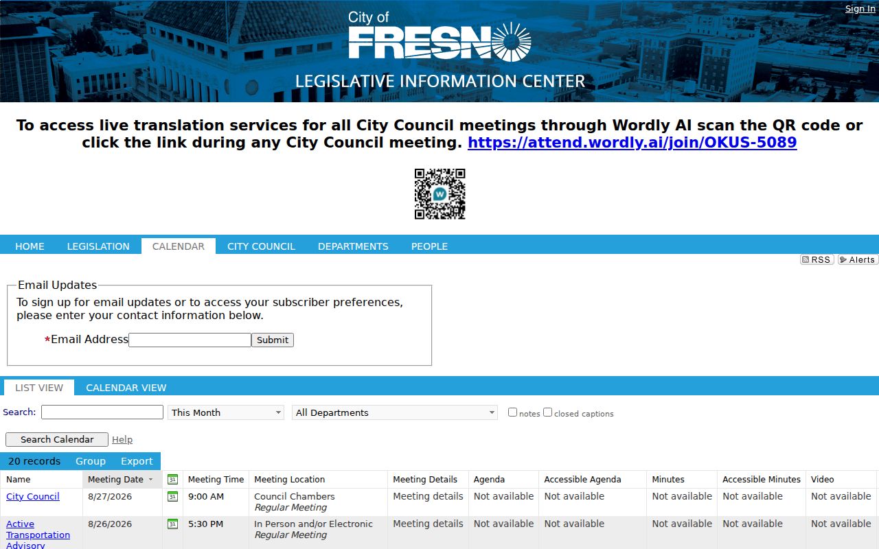
Fresno meeting records can help explain a block's public history and contact route. They should be read for the role and date shown, not recast as a roster of people living nearby.
Neighborhood Contacts, Not Fresno Rosters
No authoritative single City of Fresno neighborhood-association directory with membership status was located in the researched Fresno official pages. Fresno planning areas, neighborhood groups, HOAs, and civic organizations can publish a public officer or contact channel, but private member lists should not be inferred from a subdivision name. Use the organization's own contact route and ask only for a public-facing contact or meeting detail.
| Public contact source | Fresno geography or group signal | Safe use |
|---|---|---|
| Fresno City neighborhood-planning materials | Tower District, Downtown, Southwest Fresno, West Area, Highway City, Fresno High-Roeding, McLane, Roosevelt | Confirm plan area, boundary, and the responsible Fresno city channel |
| Fresno City public meeting packets | Project, council, commission, or organization named in an agenda | Follow a public meeting or project record; do not build a member list |
| Association or HOA public channel | Officers, board contact, meeting notice, or posted service address if the group publishes it | Contact the group directly; treat membership as private unless clearly released |
| Community institution | Public event, organization, congregation, or civic program tied to a stated place | Use the institution's published address and purpose, not a guessed resident roster |
Fresno city planning areas are a geography layer. They help select the right Fresno public meeting or planning office. They do not prove that a person speaking for a group lives in the named area, and they do not establish an authoritative list of people in Fresno.
Note: A public association contact identifies a communication route, not the private names of people who belong to the group.
Permits and History Around Fresno Neighbors
Permits and code cases can show how a Fresno block changed. A City of Fresno search may return record number, record type, street number, street name, parcel number, work description, status, dates, applicant, owner, or contractor. If a record is older or absent from the vendor interface, ask the Fresno department or make a focused California Public Records Act request for an existing address or APN file. A permit role is evidence of a project connection, not proof of residence.
For historical Fresno neighbors, Haines and other reverse directories can place listed occupants by street and number for the editions actually held. Sanborn maps can show building footprints, uses, and materials. The Fresno library's history and genealogy shelves, newspapers, and yearbooks add names or events, while deeds and Fresno assessor maps hold the parcel continuity. Search the period address and adjacent households when a modern Fresno parcel was split or rebuilt.
Fresno's county-seat history and changing city edge matter here. A record can use Millerton-era Fresno County geography, a rural route, a Fresno city label, or a later annexation context. An APN, legal description, tract map, or Sanborn sheet can bridge those terms more safely than a present ZIP or neighborhood name.
Official Fresno Rolls Compared
Commercial tools for neighbor matching may combine public and licensed data into a smooth result, but the category has no single Fresno custodian. Fresno official sources are slower and more divided, yet they expose the record type, date, role, and access rule. Compare the two approaches without turning either one into a complete list of people.
| Question | Official Fresno route | Commercial category |
|---|---|---|
| Which land parcel touches the address? | Fresno City GIS polygon, APN, tract, block, lot | Map association may be simplified or stale |
| Who is on the assessed owner record? | Fresno Assessor roll or current ownership and mailing product | Source and update date may be unclear |
| What transfer occurred? | Fresno Recorder index and instrument image | Deed facts may be summarized without the document role |
| Who was listed in an older year? | Heritage Center directories, census, newspaper, or map | Historical merges can join different people |
| Can a block voter list be requested? | Fresno Elections application and approved purpose | Marketing data is not a lawful substitute |
When a commercial result conflicts with the Fresno official record, preserve the official document number, APN, date, and custodian. A compiled result is a lead for a lawful verification step, not a reason to publish a person's private details.
California Registry Limits for Fresno Neighbors
California Megan's Law is a statutory public registry with its own search limits, exclusions, and use warning. It is not a general Fresno block directory, and a name or map result should not be used to infer facts beyond the Fresno official profile. A registry entry also does not identify every person at an address or make private household data public.
The California Megan's Law Website is the official source for the registry search and its restrictions.
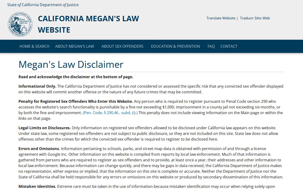
The statutory search surface is narrower than a Fresno parcel map. Read its current warning and exclusions, and do not use a registry result to create a broader Fresno neighbor list.
Safe at Home and Fresno Address Privacy
California Safe at Home supplies a designated mailing address and can affect how an eligible participant's address appears in Fresno County, Fresno city, Fresno court, and voter records. Eligibility includes specified survivors and qualifying public-entity workers or household members facing safety threats. Enrollment is handled through a designated agency, not an open web form. Certification generally lasts four years and can be renewed.
Government Code section 6209.5 allows a participant to request substitution of the designated address on Fresno real-property deeds, change-of-ownership forms, and deeds of trust in qualifying circumstances. Confidential voter registration has a separate route. A substitute address is not evidence that a person lives at the listed mailing location, and the program is not a general deletion tool for every Fresno public record.
The Safe at Home applicant information explains the safety-focused program and its enrollment route. The Secretary of State's governing-laws page supplies the statutory detail.
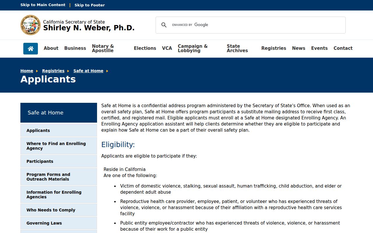
Privacy protections are part of the Fresno block lookup, not an error to work around. When a protected record is absent, stop at the lawful public boundary.
Privacy Limits for Fresno Neighbors
A parcel map does not expose renters, children, partners, utility customers, delivery accounts, DMV residence data, confidential voters, or nonpublic association members. A tax mailing address can sit elsewhere. A public meeting speaker may represent an organization. A directory entry may reflect one listed subscriber years ago. These gaps are normal and should be stated rather than filled with guesses.
California Penal Code section 646.9 addresses stalking, and section 653.2 limits harmful electronic distribution of identifying information. Public availability does not erase those limits. Keep a Fresno block lookup tied to family history, civic understanding, personal safety awareness, or another lawful personal purpose, and verify a serious claim with the Fresno office that holds the record.
Lawful use. Fresno neighbor records are for lawful personal research and careful civic use. Do not use parcel, voter, registry, directory, or meeting information to stalk, harass, threaten, intimidate, or expose another person.